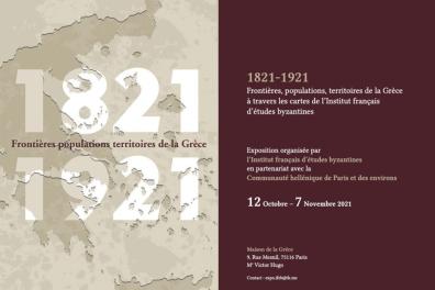
Exhibition: "1821-1921. Borders, populations, territories of Greece through the maps of the French Institute of Byzantine Studies" from 12/10/2021 to 07/11/2021

The territory of Greece, as we know it today, is the product of a century of European, diplomatic, demographic and military history. It is this century that the exhibition aims to illustrate, through a selection of maps from the collection of the French Institute of Byzantine Studies, presented to the public for the first time. French cartography plays an essential role, as it produced the first complete scientific map of the Hellenic state, in 1852. An impressive Ottoman map dating from 1890 is also included, as are important Greek maps produced between 1880 and 1921.
A partnership between the French Institute of Byzantine Studies, the Hellenic Community of Paris and Surrounding Areas, the Institut catholique de Paris, the École française d'Athènes, the École Pratique des Hautes Études, the Inalco and the Institut Convergences Migrations (Condorcet).
Contact: View e-mail